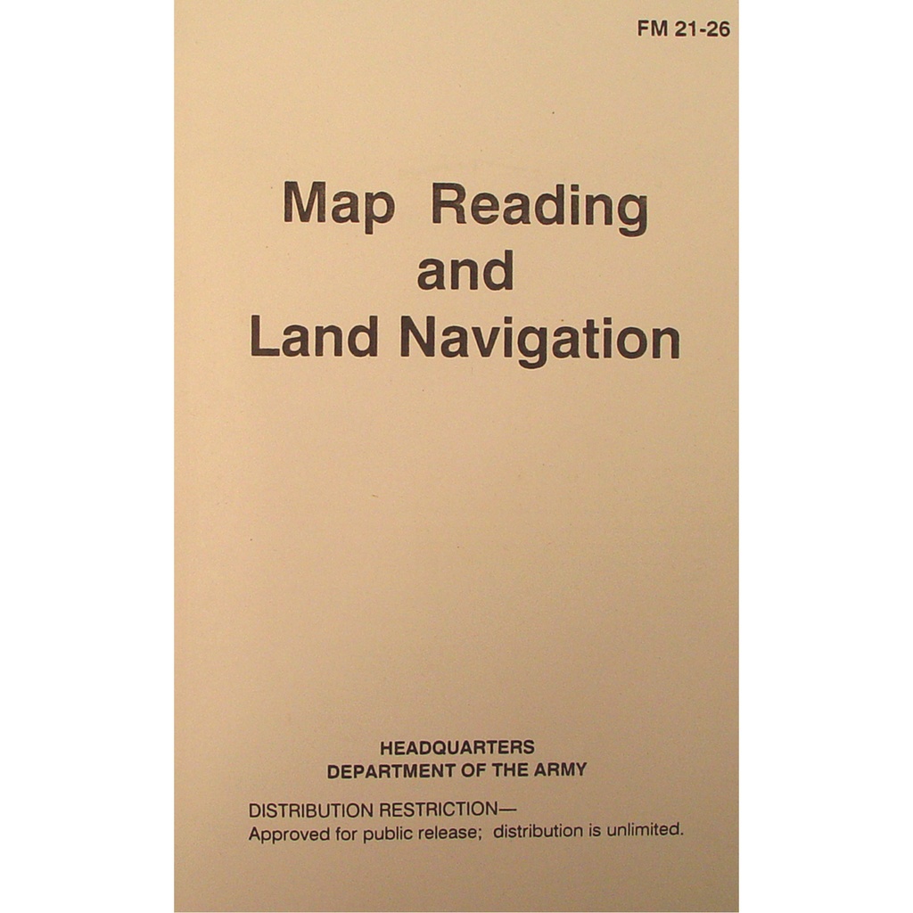

Terrain-True Ranger Navigation Guidebook - Field Tan
3 sold in last 24 hours
Out past the mesquite and windmills, cell service dies and this land navigation manual starts earning its keep. Drawn from U.S. Army FM 21-26, it turns contour lines, grid coordinates, and azimuths into clear, repeatable steps. In a Hill Country course, a Panhandle pasture, or a piney woods training lane, it teaches the same thing: read the ground, trust your pace, find your way back.
When GPS Quits Somewhere Between the Fence Line and the Horizon
There are big stretches of country here where your phone is just extra weight. Out past the last pivot in the Panhandle, in a dawn fog rolling over the Pineywoods, or on a dusty training lane outside San Antonio, you either know how to read the ground or you don’t. The Terrain-True Ranger Navigation Guidebook - Field Tan exists for those moments.
This isn’t a slick, glossy coffee-table read. It’s a straight reprint of U.S. Army FM 21-26 — the same map reading and land navigation doctrine used to train soldiers who have to bet lives on their pace count and azimuth. Wrapped in a muted field-tan cover, it disappears into a ruck, range bag, or truck door pocket and comes out when electronics lose the plot.
Texas OTF Knife Buyers, Rucksacks, and Why This Manual Belongs Beside Your Blade
If you already care enough to pick the right Texas OTF knife for ranch work, lease weekends, or night shifts, you understand tools that close the gap between guessing and knowing. A switchblade or OTF knife handles the cutting: feed bags, hose, seatbelts, pushy mesquite. This land navigation manual handles the finding: water, roads, rally points, your truck headlights way off in the dark.
FM 21-26 walks you from the basics up. It turns that folded topo of a Hill Country draw into a story you can read: contour lines that tell you where the ridge pinches down, blue lines that warn you where that low-water crossing will go under after a storm, grid squares that put a hunting camp or training lane exactly where you meant it to be. For anyone who carries an OTF knife Texas-style — legal, ready, and worked hard — this is the same mindset on paper: simple, reliable, repeatable.
Reading Texas Ground: From Mesquite Flats to Piney Ridges
Texas terrain doesn’t repeat itself. One weekend you’re in shortgrass and playa lakes, the next you’re side-hilling granite above a stock tank in the Hill Country or threading black dirt firebreaks through East Texas timber. This land navigation manual was written to handle that kind of variety.
Inside, you get method, not theory. Grid coordinates stop being abstract the first time you plot a spot on a training map of Fort Hood–style rolling country and then walk it clean in the dark. Azimuths stop being math and become muscle memory when you’ve followed a bearing through post oak and cedar, checked your pace count beads, and hit the road where you said you would.
Terrain association, resection, intersection, declination — all the words that make beginners glaze over turn practical when you put this book open on a tailgate, drop a protractor on a Texas topo, and start tracing the real-world features you know: windmills, tanks, powerlines, creek bends, oil pads, county roads that only show up as faint double tracks on the map.
Map Reading as a Confidence Tool in Texas Backcountry
Anyone who’s ever had to walk a kid, a student, or a rookie back to a trailhead in the Davis Mountains after the sun bails early behind a ridge knows that calm is contagious. This guidebook builds that calm. It’s doctrine broken into steps you can teach, drill, and repeat until a compass and map feel as natural as your favorite OTF knife deploying in one clean motion.
For JROTC and ROTC units running land nav lanes on scrubby schoolhouse property, search and rescue teams working canyon breaks and river bottoms, or church and youth groups hiking State Natural Areas, this manual gives instructors a common language. You’re not inventing your own system on the fly. You’re using the same pacing rules, plotting techniques, and correction methods that have been tested by people who can’t afford to be wrong.
The softcover binding and field-tan cover take marks well. Instructors underline, add notes in the margins about local landmarks, even tape in photocopies of actual local maps. It becomes a Texas-specific playbook built on Army bones.
Texas Carry Culture, Preparedness, and Why This Book Rides with Your Kit
Knife laws in this state have opened the door for everyday carry that would get side-eye elsewhere. Texans carry OTF knives, autos, and big fixed blades because they’re legal and they work. But you can’t legislate judgment. That still has to be learned.
This land navigation manual is the same kind of quiet edge. It doesn’t shout. It doesn’t try to impress. It just lays out, in plain government type, how to stay found when a hog hunt runs long, a training exercise stretches past dusk, or a flood pushes you off the road and onto high ground you’ve never walked in daylight.
In a truck console beside your Texas OTF knife, a small first-aid kit, and a flashlight, this book looks unremarkable. The first time you use it to turn a wrinkled map into a clear route to a safe crossing or a known road, it stops being just paper.
Questions Texas Buyers Ask About Land Navigation Manuals
Are OTF knives legal to carry in Texas?
Yes. Under current Texas law, OTF knives and other switchblades are legal to own and carry. The old switchblade ban is gone. What still matters is where and how you carry any "location-restricted" knife, mainly based on blade length and specific places like schools, courthouses, and secure areas. Many buyers pair this land navigation manual with a legal Texas OTF knife in their pack or truck, building a kit that cuts clean and keeps them oriented without running afoul of state law.
How does this manual help in real Texas terrain, not just on a classroom map?
This is where FM 21-26 shines. It teaches you to match paper to ground: how to use terrain association in broken Hill Country draws, how to follow a bearing through flat Panhandle farm country without drifting, how to judge distance with a pace count when East Texas sand or rock out west changes your stride. The examples are general, but the methods drop cleanly onto any Texas topo map you spread across a hood or picnic table.
Is this better for individual use or group training in Texas?
Both. One copy rides well in a personal kit, dog-eared and weathered from solo scouting trips, range days, and weekend hunts. But the price point and format make it ideal for bulk issue to JROTC battalions, sheriff’s academy classes, volunteer fire departments building search teams, or private training companies running land nav courses outside Austin, Dallas, or San Antonio. Everyone works from the same pages. Everyone speaks the same map and compass language.
Built for the Moment the Trail Fades and the Sky Turns Red
Picture a late hunt near Junction. You’ve pushed deeper than usual chasing sign through cedar and rock. The sun slides behind a ridge quicker than you planned. Your GPS, fat and happy all afternoon, drops bars until it’s useless. You pull a folded topo from your pack, thumb open the Terrain-True Ranger Navigation Guidebook on the tailgate, and in a few quiet minutes you’ve laid out a bearing, counted off the distance, and traced a clean route back to a ranch road you trust.
The OTF knife in your pocket handles the physical work — quartering, cutting, clearing brush. This field-tan manual handles the mental work — turning lines and symbols into a way home. In a state where land can swallow miles and nights fall fast, that combination is what serious Texans carry.